

How a forecast is made
Models start from observations and step the atmosphere forward in time.
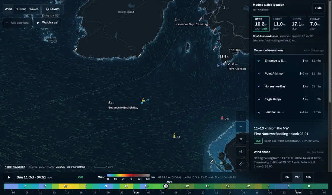
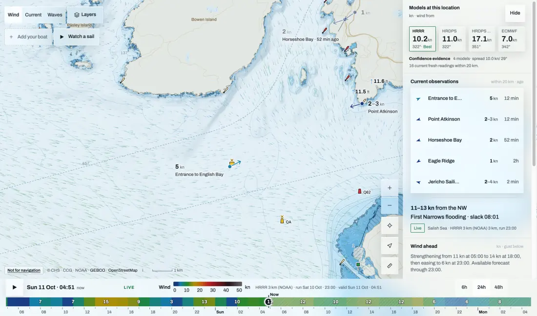
Physics-based models solve the equations of the atmosphere on a grid. AI models such as ECMWF’s AIFS learn how weather evolves from decades of past analyses. Both start from the same kind of observations and both output a value per grid cell per hour, not the wind at your boat.
References 1
Global, regional, AI and ensemble
Pick the view that answers your question.
A global model sees the big pattern days ahead. A regional model uses a finer grid for terrain but takes its edges from a global one. An ensemble runs the same model many times to show the range.
| View | Good for | Keep in mind |
|---|---|---|
| Global (GDPS, GFS, IFS) | The pattern 2–10 days out | Coastal detail is coarse |
| Regional (HRDPS, HRRR) | Terrain, the next 1–2 days | A finer grid is not proof of accuracy |
| AI (AIFS) | Another estimate of the pattern | Check which product you are reading |
| Ensemble | How sure the forecast is | The spread matters more than the mean |
When models disagree
Disagreement is information: it tells you where the forecast is weak.
Compare the same spot, the same hour and the same quantity. If the runs agree on a front but not on its timing, plan for the timing to slip. Use the newest run of each model, and note its run time.
What a grid can’t see
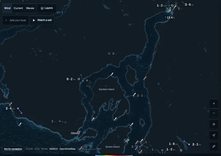
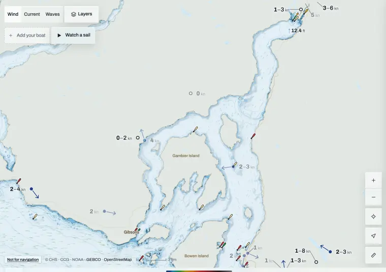
A 2.5 km grid gets one or two values across a narrow inlet.
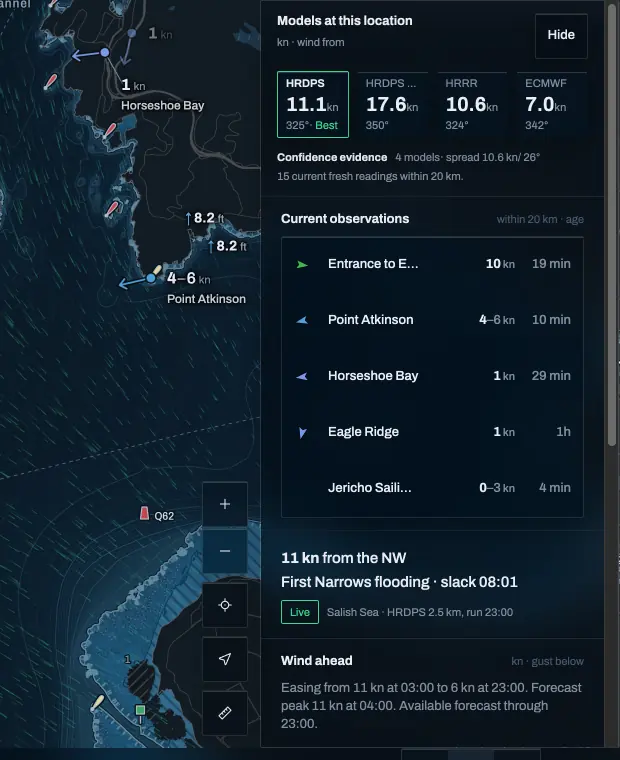
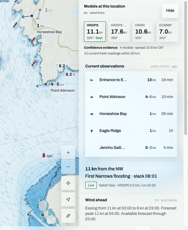
HRDPS runs at 2.5 km. Howe Sound is around 3 km wide in places, so the model has one or two cells to describe wind that may hug one shore. A smooth map layer is interpolated between cells; it adds no new information.
References 2
Check the forecast against the stations
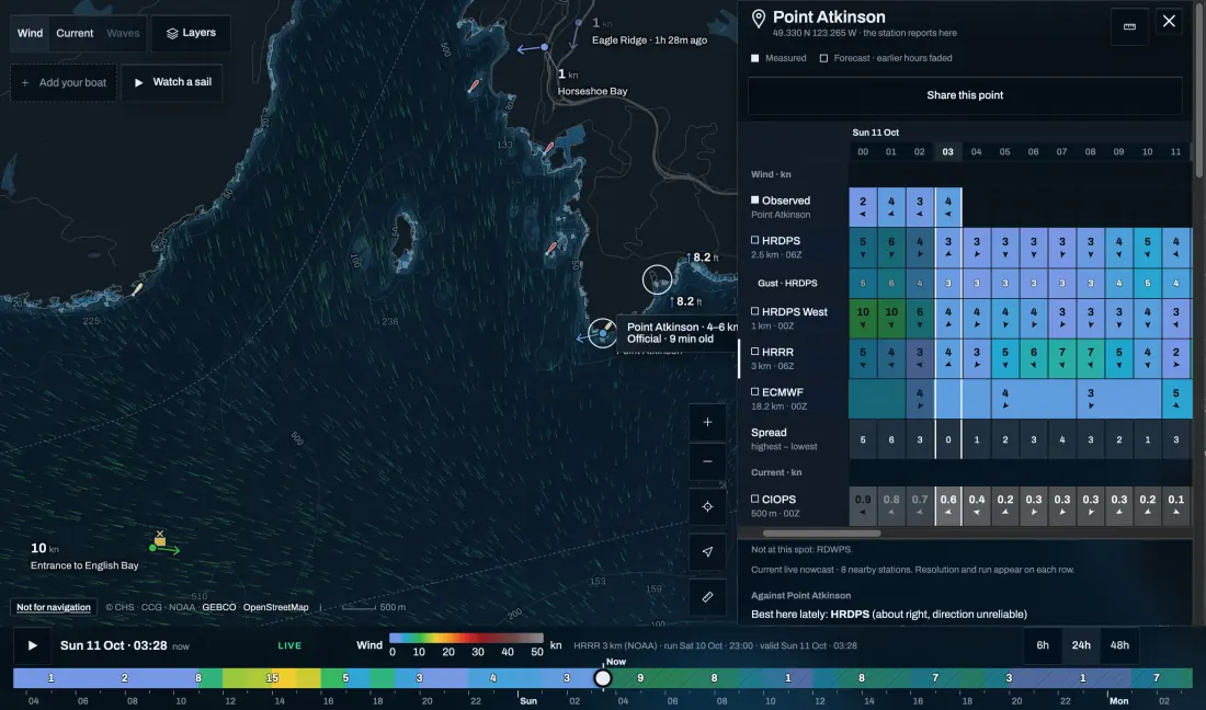
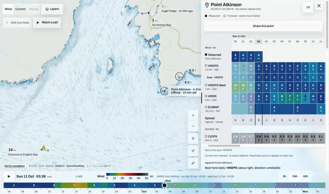
The morning’s observations tell you which forecast is on track.
A station measures one place, at a known height and exposure, averaged over a known time. Line up its last hours with each model for the same hours. If they disagree by more than a few knots, trust the station for now and the trend for later.
References 13
Model names at a glance
The name tells you who runs it and how fine the grid is.
Availability depends on the product and the region.
- ECCC · GEM: HRDPS, RDPS, GDPS
- NOAA: GFS, HRRR, NAM
- ECMWF: IFS (physics) · AIFS (AI)
- DWD: ICON global and regional
- Met Office: global and UK models
- Météo-France: ARPEGE · AROME
Wind, waves and current are separate forecasts
A wind arrow says nothing about the sea state or the current.
Check wave height, period and direction on their own, and the current from the CHS tables. Wind against current builds a steeper sea than the wind alone suggests.
References 12
Runs, grids and delivery
Provider, family and variant are separate labels: ECCC, GEM and HRDPS continental are not interchangeable, and HRDPS West is another variant. ECMWF’s 0.25° open-data grid is a delivered product, not every calculation inside IFS. Keep the run time, the file’s arrival and the valid time apart; a run every six hours doesn’t mean the data is out the minute after.
After the sail, judge a forecast by the run that was out before you left. A later run can explain the day, but it couldn’t have helped you decide, and one striking miss doesn’t make a model bad.
Sources and review
Official references checked on 2026-10-11. Product details and schedules change; the provider’s page is the current word.
- ECMWF: operational AIFS and IFS
- ECCC: HRDPS open-data documentation
- ECCC: RDPS open-data documentation
- ECCC: GDPS open-data documentation
- NOAA: Global Forecast System
- NOAA: High-Resolution Rapid Refresh
- NOAA: North American Mesoscale model
- ECMWF: IFS medium-range control forecast
- DWD: ICON model tutorial
- Met Office: numerical weather prediction models
- Météo-France: weather prediction models
- Canadian Hydrographic Service: tide and current tables
- ECCC: Georgia Basin marine observations
- ECCC: Pacific marine forecast regions and local variation
- ECMWF: open-data products and dissemination