

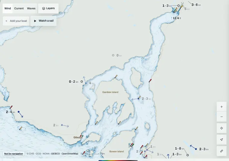
Inflow and outflow
Steep walls steer the wind along the sound.
Inflow is a southerly up the sound, usually from late morning on clear days. Outflow is a northerly down it, often overnight and in the morning, and strongest where the sound narrows.
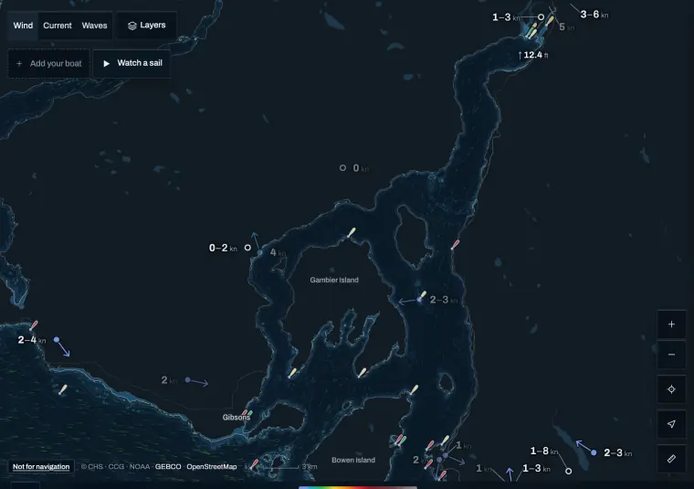
The stations along the sound
Different exposures, read together.
Use them as a line from the entrance to the head.
- Pam Rocks is on the water in the lower sound.
- Squamish Airport is inland at the head; it shows the trend, not the water.
- Point Atkinson sits at the entrance.
References 3
When inflow fills in
Pam Rocks often turns before the model does.
Watch for Pam Rocks swinging to the south and building. Squamish follows.
References 3
When outflow dies
A northerly morning can stop dead before the afternoon southerly.
If you head up the sound on a morning outflow, expect a calm patch before the inflow, and plan the return for the wind after the turn.
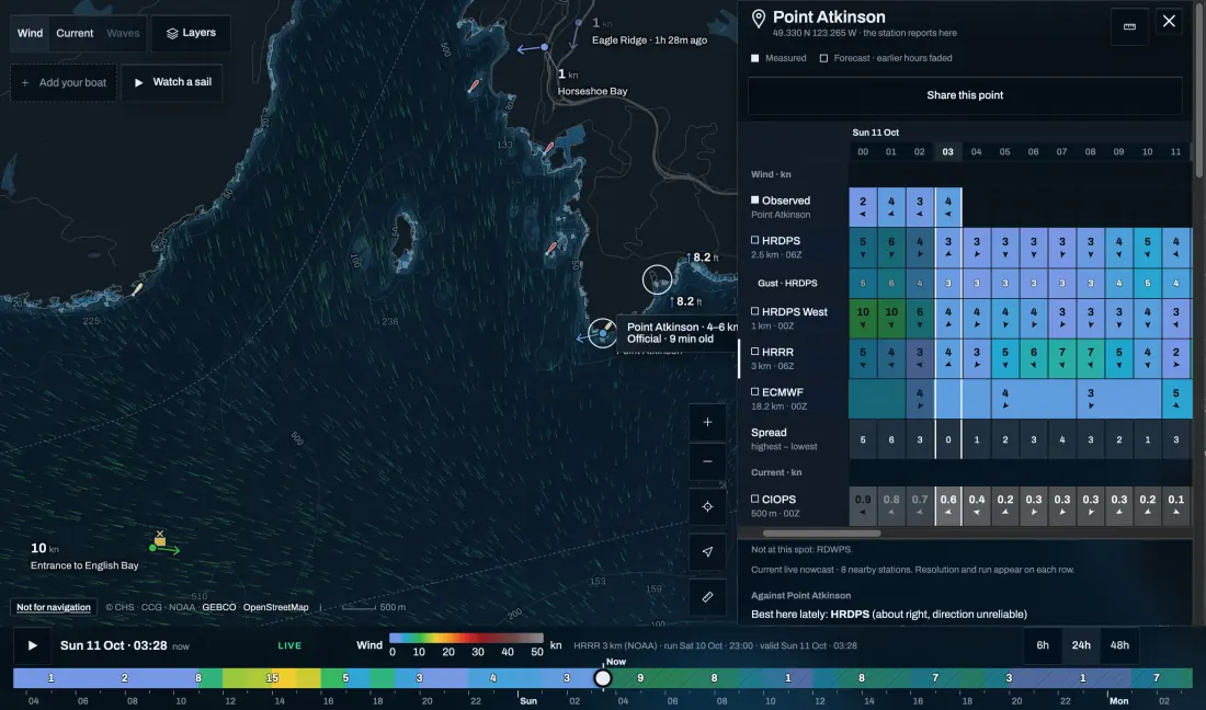
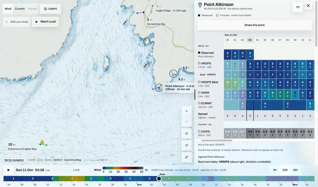
What the model can resolve
Two grid cells across the water is not much.
Regional models represent the walls of the sound better than global ones, but at 2.5 km they still smooth the wind across it. Don’t trust one bright patch of model wind in the narrows: compare the cells either side and the nearest station.
References 4
Adjoining water
Howe Sound and the Strait have separate forecasts.
Read both if you cross the entrance. A missing or old reading is unknown, not calm.
Sources and review
Official references checked on 2026-10-11. Product details and schedules change; the provider’s page is the current word.